We’ve all been there—flipping through Pinterest, bookmarking garden inspo, and squinting at vague blueprints, wondering, “Will this actually look good in my backyard?”
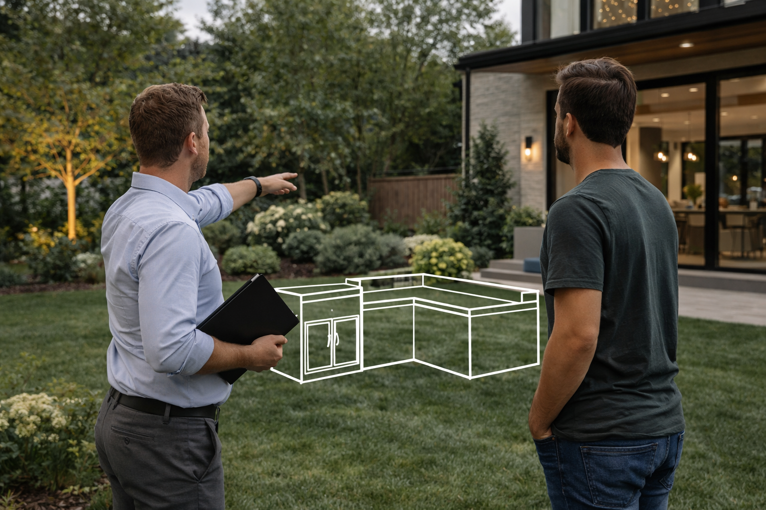
Well, guess what? You no longer have to cross your fingers and hope. With 3D landscape design, Chicago homeowners can now see their outdoor transformations before a single shovel hits the dirt.
At Luxterra Outdoors, we believe in planning smarter, not harder. Whether you’re tackling a full-blown backyard overhaul or adding a cozy fire pit corner, 3D yard planning in Chicago lets you visualize your dream yard down to the very last paver.
What Is 3D Landscape Design, Anyway?
Let’s start with the basics. 3D landscape design is the digital magic that turns your vague outdoor vision into a lifelike, walk-through experience—before you commit to a single plant or patio.
Using advanced landscape visualization tools, you can create:
- Overhead site maps
- Detailed plant and material layouts
- Real-time lighting and shadow modeling
- Even animated walk-throughs for the full tour
In short, it’s like HGTV—but customized for your own backyard in the middle of Chicago.
Why Chicago Homeowners Need This More Than Most
Sure, planning is essential everywhere, but in Chicago? It’s absolutely critical.
Here’s why:
- Limited yard space: Urban lots are tight. One mistake could eat up your entire garden.
- Four seasons of chaos: What looks great in May might not hold up in January.
- Zoning restrictions & permitting: Mistakes cost time and money.
- Diverse materials: Chicago weather demands elevation mapping and material analysis before installation.
This is one city where planning isn’t just smart—it’s survival.
Benefit #1: Visual Clarity Means Fewer Costly Mistakes

One of the most significant advantages of 3D landscape design is that it eliminates the dreaded “I didn’t think it would look like that” moment.
With realistic landscaping previews, you can:
- See how your materials, colors, and shapes work together
- Test layouts with different furniture, plantings, or features
- View the space in daylight, dusk, or under patio lighting
- Adjust elevations and slopes digitally before grading your yard
This saves you from expensive do-overs and helps avoid design regrets.
Benefit #2: See How Seasons Affect Your Space
In a city with brutal winters and blazing summers, you need more than a “one-season wonder” design. And that’s where 3D tools shine.
These programs allow you to:
- Watch how shadows change throughout the year
- Position structures for optimal shade and warmth
You get a landscape that thrives through all four seasons—not just the ones that look good on Instagram.
Benefit #3: Satisfy HOA and City Requirements with Ease
Sometimes, city permits or HOA boards want to see your plans—really see them.
Having photo-realistic yard models makes getting those approvals faster and easier. You’ll look like a pro (because you kind of are, now).
It also helps when hiring other trades like electricians, masons, or irrigation pros. Everyone works from the same playbook.
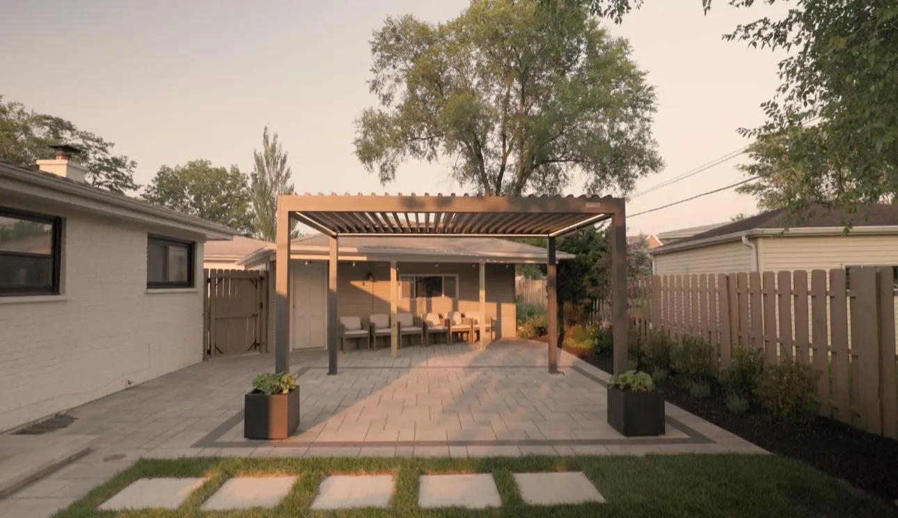
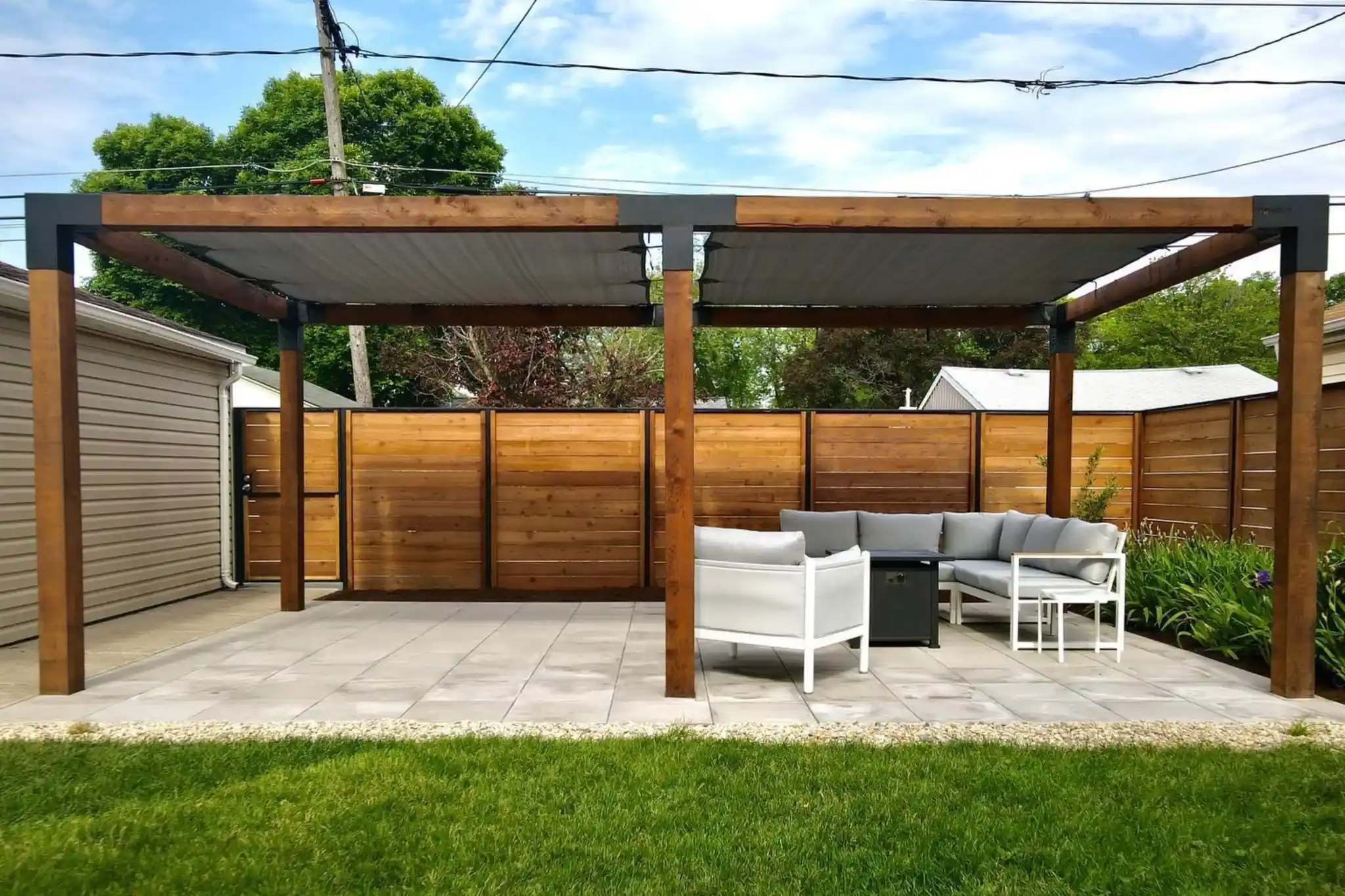
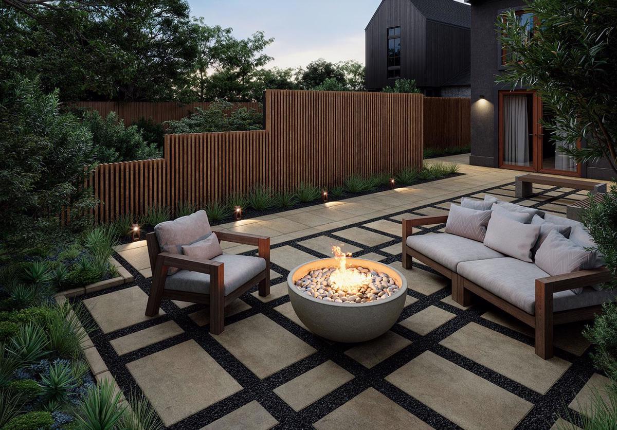
Let’s Design Your Dream Yard in 3D First—Then Build It Beautifully

At Luxterra Outdoors, we use cutting-edge visualization tools to bring your outdoor dreams to life—digitally first, then physically. Whether you’re building a cozy courtyard or a sprawling outdoor kitchen setup, we help you see the whole picture before lifting a finger.
👉 Ready to take your outdoor remodel planning from guesswork to greatness? Contact us today to start your 3D yard planning project the smart way.
FAQ: Extra 3D Design Insight for Chicago Homeowners
Can you request multiple design versions during the 3D planning phase?
Yes, absolutely! Many homeowners benefit from seeing a few different layout or style options before locking in their decision. You can compare versions with different materials, seating arrangements, or lighting setups to find the one that truly fits your lifestyle and budget.
Will 3D landscape design reflect elevation changes in your yard?
Definitely, one of the most powerful aspects of 3D planning is elevation mapping. It allows your designer to replicate slopes, steps, or retaining wall needs with accuracy. This is especially important in Chicago, where drainage and elevation play a significant role in long-term functionality.
Can you see how your new outdoor space looks next to your existing home architecture?
Yes! Most 3D renderings can be layered over photos or architectural models of your home. This helps you see how new features integrate with your existing structure, style, and materials—so there are no unpleasant surprises once the project is complete.
How long does it typically take to complete a 3D landscape design before construction?
The timeline for completing a 3D landscape design varies depending on the size and complexity of the project, but most homeowners in Chicago can expect the process to take anywhere from one to three weeks. This includes the initial consultation, drafting preliminary designs, making revisions based on your feedback, and finalizing the layout. The more clearly you communicate your goals and preferences up front, the faster the turnaround.
Do you need special software or tools to view your 3D landscape design at home?
Nope! Most landscape pros will provide your design in easy-to-access formats like PDFs, images, or even interactive web links that work on phones, tablets, or desktops. Some companies offer cloud-based viewing tools, so you can spin, zoom, and walk through your design from anywhere. You don’t need to be tech-savvy to explore your new yard—it’s designed to be homeowner-friendly. It’s also a great way to share the vision with family or friends before construction begins.
🔗 Want More Landscaping Wisdom?
If you enjoyed this deep dive into 3D landscape design, make sure to check out our Blog for more tips, ideas, and expert advice on all things concerning outdoor remodeling in Chicago.